By: Alusine Rehme Wilson
On Wednesday, September 24, 2025, trainees from four districts in the Northern of Sierra Leone begun hands-on satellite imagery interpretation, marking a key milestone in the ongoing 10-day cartographic mapping training organized by Statistics Sierra Leone with support from the Government of Sierra Leone and UNFPA, ahead of the country's 2026 National Population and Housing Census.
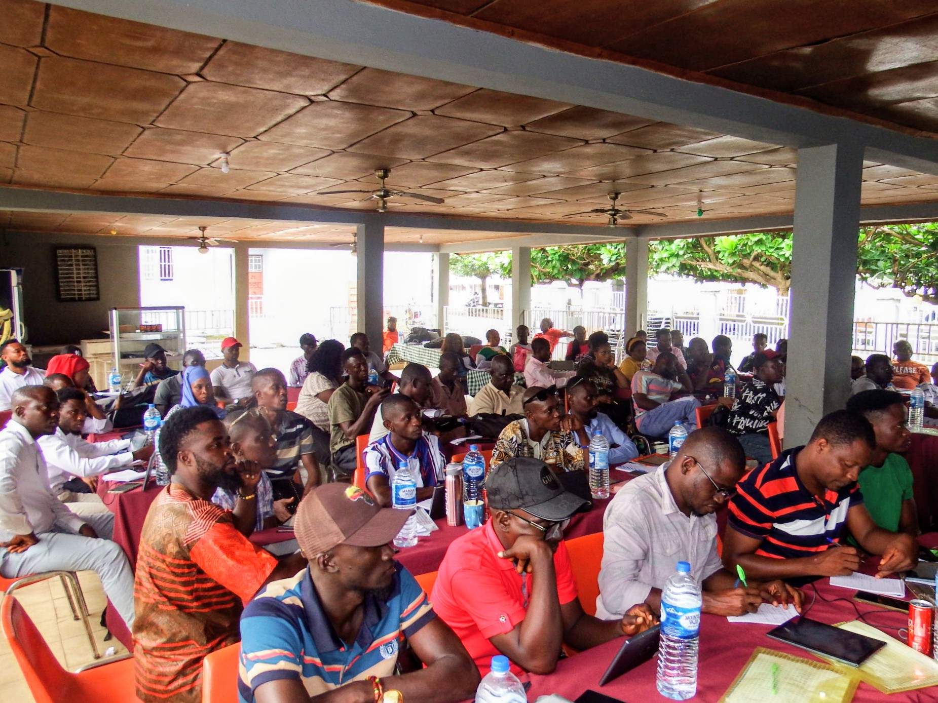
The training held at the Garden State Hall in Makeni, brings together Sierra Leoneans from Bombali, Falaba, Koinadugu, and Tonkolili, all preparing for their role in demarcating and delineating enumeration areas using modern digital tools.
On Day 3 of the training, participants were introduced to satellite imagery interpretation which is an essential component of digital cartographic mapping.
Today's training marks the first time many of the trainees have engaged in practical application of the theoretical concepts they have been learning.
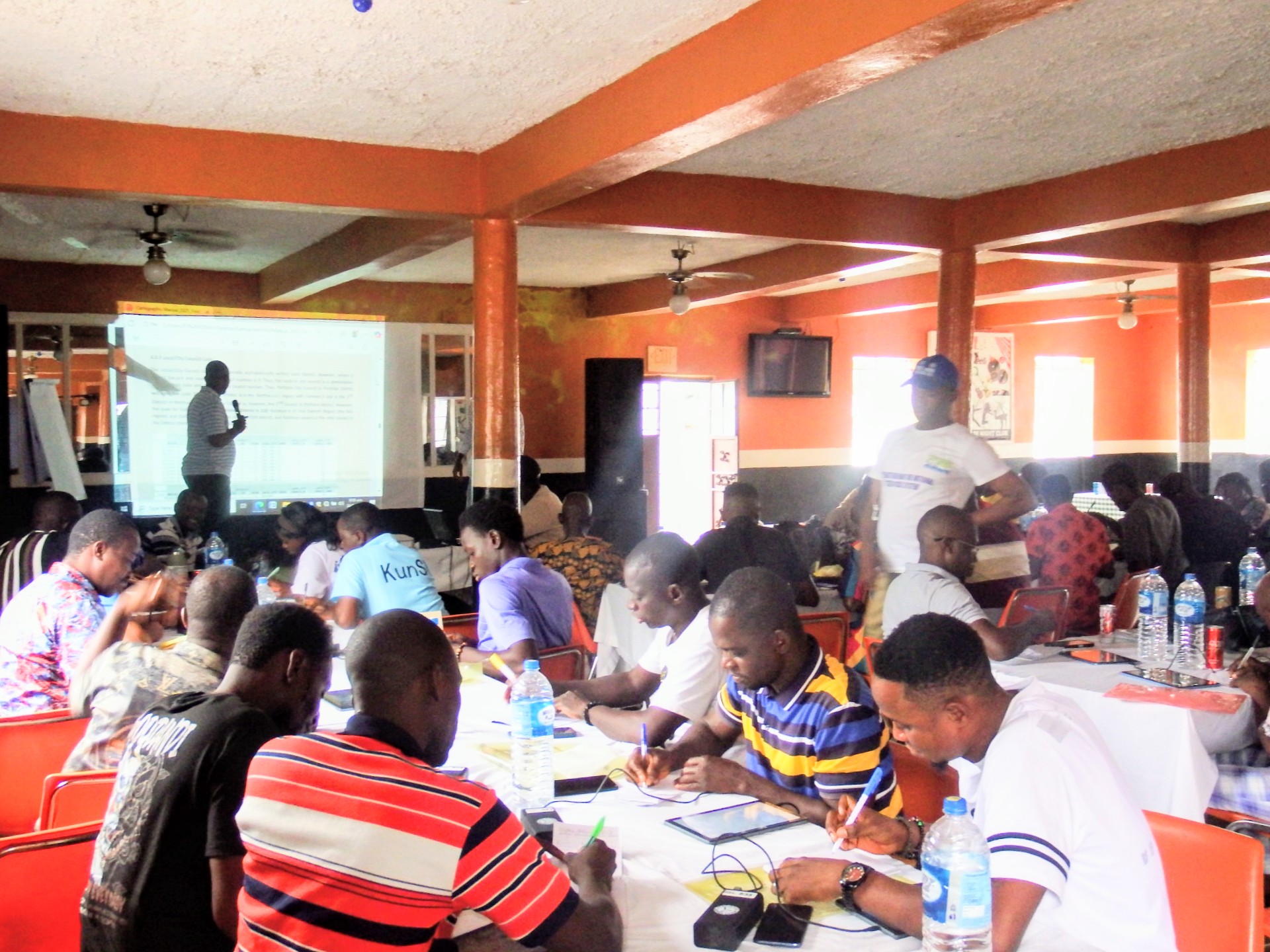
The day began with registration, followed by recaps and group presentations of assignments from the previous session.
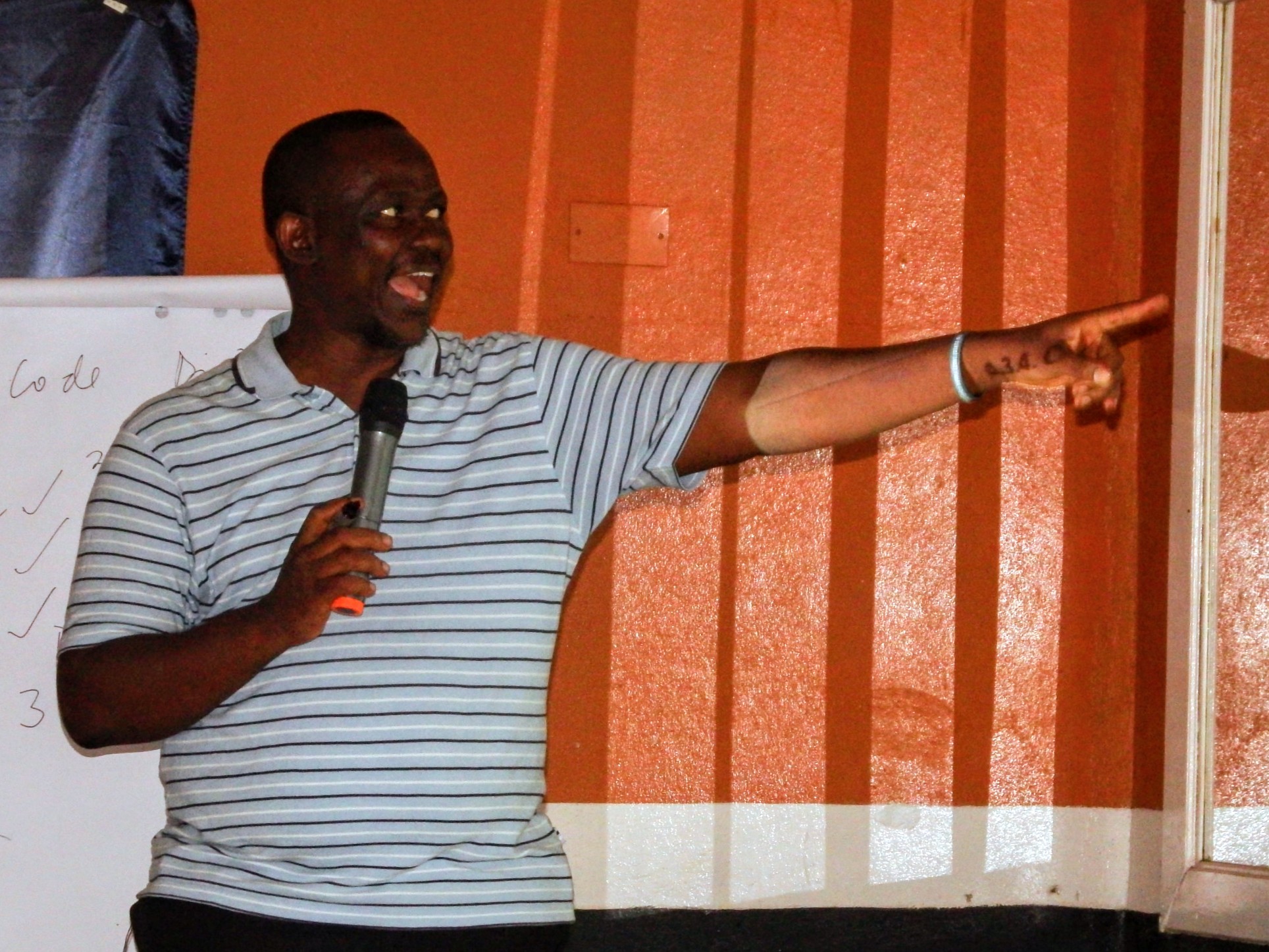
The training facilitators guided the sessions with support from the Director of Statistical Systems at Statistics Sierra Leone, Mr. Francis Tommy, the Regional Publicity Officer for the 2026 National Population and Housing Census, and the District Census Officers (DCOs) who supervised the day's routine training assessments, with results automatically generated, fostering a competitive yet encouraging learning environment.
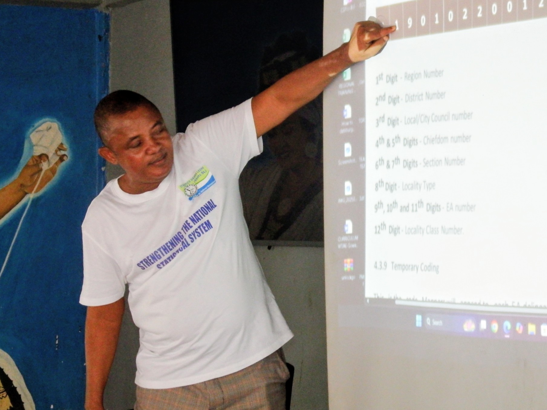
Following a short tea break, trainees were introduced to the EA-Pad, an application to be use in the field to collect and interpret mapping data.
The EA-Pad Android application is central to Statistics Sierra Leone’s commitment to conducting a fully digital and highly accurate census.
Respectively, facilitators Mr. Amadu Sheriff and Madam Khadijatu Margai training Bombali and Falaba trainees in room one, and Mr. Joseph M. Fullah, Mr. Amara Gbondo, and Mr. Bai K. Bangura schooling Koinadugu and Tonkolili trainees, led the practical exercises sessions covering two chapters, three and four of the training manual, focusing on digital mapping elements and satellite image coding under the leadership of the lead facilitator of the Northern Region, Mr. Mohamed Keita Samura.
Day three's high level of engagement among participants highlights growing enthusiasm for the use of modern tools in national data collection.
With digital skills becoming increasingly essential for accurate census work, the ongoing 10-day cartographic mapping training in the North compliments ongoing critical groundwork by the management of Statistics Sierra Leone for the December 2026 National Population and Housing Census.
On top of the agenda of the Statistician General, Mr. Andrew Bob Jonny, his Deputy Mr. Lansana K. Kanneh and the board members of Statistics Sierra Leone is capacity-building for field staff as it moves toward delivering a credible, data-driven, and fully digitized national census next year.
Comments
Post a Comment